Ocean mapping startup Bedrock Ocean nets $25m series A-2
Bedrock Ocean, a company specializing in ocean floor mapping, has raised US$25 million in its series A-2 funding round.
The round was led by Primary and Northzone, with participation from Autopilot, Costanoa Ventures, Harmony Partners, Katapult, and Mana Ventures.
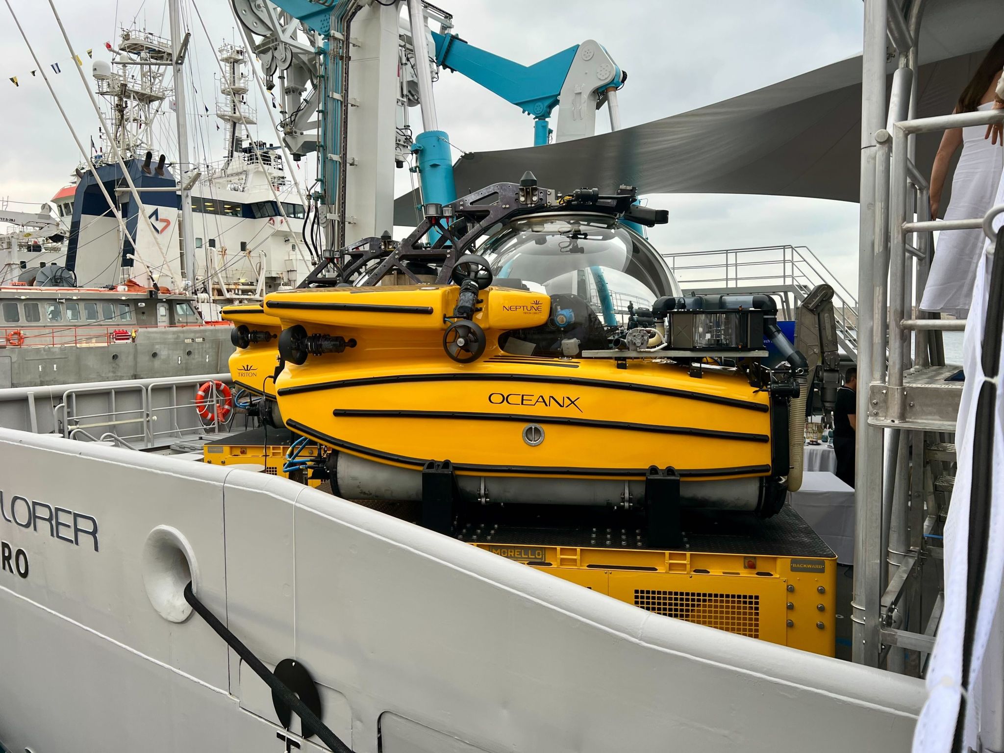
The firm has developed autonomous underwater vehicles (AUVs) that can operate independently for up to 12 hours.
The funding is expected to support further development and deployment of Bedrock Ocean’s mapping solutions.
.source-ref{font-size:0.85em;color:#666;display:block;margin-top:1em;}a.ask-tia-citation-link:hover{color:#11628d !important;background:#e9f6f5 !important;border-color:#11628d !important;text-decoration:none !important;}@media only screen and (min-width:768px){a.ask-tia-citation-link{font-size:11px !important;}}🔗 Source: TechCrunch
The evolution of seafloor mapping technology reflects the broader trajectory of human technological advancement, moving from manual to autonomous systems.
In the early 20th century, mapping relied on primitive “lead line” measurements, which involved dropping weighted ropes to measure depth and provided extremely limited data points 1.
The 1912 Titanic disaster spurred the development of better mapping technology, leading to the adoption of echo sounders that used sound waves to measure depth more accurately and continuously 2.
The real breakthrough came in the 1970s with the introduction of multibeam sonar systems, which could map wide swaths of seafloor simultaneously rather than just the area directly beneath a ship 1.
Despite these advances, as of 2025, only about 30% of the seafloor has been mapped in detail compared to the nearly complete mapping of the Moon and Mars. This highlights the enormous technical challenges of underwater exploration 3.
Bedrock Ocean’s autonomous underwater vehicles represent the latest evolution in this technological progression, potentially addressing the persistent challenges of cost and environmental impact that have limited comprehensive seafloor mapping.
The limited mapping of our oceans has prompted an ambitious global collaboration to comprehensively map Earth’s final frontier within this decade.
The Nippon Foundation-GEBCO Seabed 2030 Project, launched with an $18.5 million initial investment, aims to compile all available bathymetric data into a high-resolution digital model of the entire ocean floor by 2030 4.
This initiative gained attention partly due to the 2014 disappearance of Malaysia Airlines flight MH370, which highlighted the inadequacy of existing seafloor maps when the search operation encountered completely unknown underwater mountains and valleys 5.
The project has established regional data centers to coordinate mapping efforts and identify unmapped areas, while also seeking to engage the fishing industry and recreational vessels to dramatically increase data collection 4.
Current mapping reveals that only about 6% of the seafloor has been mapped with modern multibeam sonar, with most ocean floor representations relying on lower-resolution satellite altimetry that can miss significant features 6.
Companies like Bedrock Ocean are emerging as part of a growing ecosystem of startups and research organizations racing to develop the technology needed to achieve the ambitious Seabed 2030 goals while creating commercial applications for the resulting data.
Traditional seafloor mapping methods have faced criticism for their environmental impact, creating market opportunities for less disruptive technologies.
Conventional ship-based sonar systems use powerful sound pulses that can travel long distances underwater, potentially disrupting marine mammals that rely on sound for navigation, communication, and finding food 7.
The significant fuel consumption and carbon footprint of large mapping vessels has also become increasingly problematic as environmental standards tighten across industries 5.
Newer approaches like Bedrock’s AUVs address these concerns by operating closer to the seafloor, using lower-power sonar signals that fall outside marine mammals’ hearing ranges, and requiring smaller support vessels with reduced emissions 8.
The fishing industry’s growing adoption of sophisticated sonar technology demonstrates the commercial value of underwater mapping beyond pure scientific applications, with sustainable fishing practices increasingly relying on detailed seafloor data 9.
These environmental considerations have accelerated innovation in ocean mapping technology, creating a competitive field where companies are developing solutions that balance data quality with ecological responsibility.
……Read full article on Tech in Asia
Other

One-stop lifestyle app dedicated to making life in Singapore a breeze!


 English
 简体中文
简体中文
Comments
Leave a comment in Nestia App